
Hiking Mount San Gorgonio requires some planning, experience, and the right gear. It’s not a beginner hike by any means, but more, one of the most strenuous long hike in Southern California.
If your planning to hike here, you will need a permit, and a plan. You can start at Vivian Creek on the south side, South Fork trailhead to the north, or a couple of other lesser traveled trails, such as Fish Creek, which involves driving an unpaved rutted road.
You should always check the local mountain forecast, to be sure the conditions are still optimal, and always be ready to turn around if they are not. Mountains like this are serious business, and claim lives, year-round. For this trip, the weather was set to be in the 40’s at night, and in the 60’s and 70’s during the day, and no rain in the forecast. That is practically ideal weather for an overnight backpacking trip.
Most people take two days to hike this mountain since it’s an over 20 mile trek. In order to do so, you must choose an available camp spot, on your permit, taking into account the available water sources, at that time of year, in addition to the weather, and the terrain. You could camp at the summit, but would you want do if the winds are gusting over 30 mph?
I had planned to hike to the summit of San Gorgonio for some time. I owned all the appropriate gear, including a system to hang my food, to keep it away from bears, which is not actually even required in this area. I had planned to hike the high peaks of Southern California in a certain order, beginning with those of lesser elevation. I imagined I would eventually hit San G, as last on my list, sometime in July, if I kept it up.
I had been hiking just about every day, or every other day. I already over 100 hikes completed in 2021 alone. I was a bit crazy, for the mountains at least. I loved to put in miles, and five miles seemed so short to me. I aimed for 6-10 miles a day, as my goal. So hiking every high peak in Socal seemed possible, at the rate I was going.
As the tallest mountain, in Southern California, with an elevation of 11,503 feet at the peak, San G is regarded as one of the most difficult climbs in the area. Hikers training for climbing Mt Whitney will often practice hiking at altitude on San Gorgonio. People hike here in the snow, but that’s mountaineering. I am not a mountaineer, nor do I dream of becoming one.
I simply like to hike, out in nature, preferably when the temps are warm enough to wear a sunshirt. I also prefer to travel light. Do I like easy hikes? I don’t mind them. Not everything must be a sufferfest to be enjoyable. I like to stop to smell the flowers, and feel the breeze.
Not just backpackers, but hardcore day hikers, and trail runners will venture up this mountain. There had been a lot of talk about San G on the online hiking groups I follow. The question was not if I should hike it, but when.
So one weekend in late May I was invited rather last minute to hike up Mount San Gorgonio, with two women, and a dog. After giving it some thought, I quickly shelved plans to hike other peaks first. Now was as good a time as any, especially if I was to be ready to hike Mount Whitney in August. I had scored a permit for it in the lottery.
I awoke before dawn on Saturday May 29th 2021, having unfortunately had just a few hours sleep. I stayed up late dialing in my gear, It was about an hour and a half drive to the South Fork Trailhead at San Gorgonio from Orange County. I was supposed to be there by 8, so I left around 5:45, so I would have plenty of time.
Alison, who invited me on this adventure, had hiked Mt Whitney, twice, working with SAR, and was into mountaineering. The other woman joining us, was a single parent of five kids, a trail runner, but a newbie hiker at best. She did not own any hiking gear, and was borrowing most of it from Alison. They showed up over two hours later than they said they would, saying they were lost due to google maps. I was about to leave at that point, since the anxiety of not being able to reach anyone for so long, I had a feeling I had maybe been ditched. It was a strange way to start the day.
They arrived around 9:20am. I worried the building heat of the day, would suck all the energy out of me, and we not make it as far with such a late start. I like to start early, since I can get overheated. I was at this point a ball of nerves, not having slept well the night before. I had never hiked with these women. This was a big learning experience for me, since I usually hike alone. I’m not used to having to wait for people like this.
It took these two another hour or so to get organized. We ended up departing up the South Fork Trailhead around 10:30am. I did not really care about the late start anymore, I was just excited to hike this trail. I was glad I was doing it, and Alison had hiked this trail before.
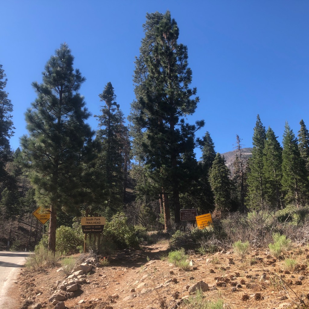
We set off down an untraveled narrow single track. Alison had hiked up Vivian Creek before. I wondered if there were a lot of snakes there since it was snake season. I also was concerned about water, and locating the springs. I had researched online about it, best I could. She seemed to think there would be water in the spring up ahead. I brought 6 liters anyway, since I was taking no chances.
I had not hiked with a pack in some time, since hiking the Trans Catalina Trail a month and a half ago. On that trip, the water was conviently flowing from spigots. The only unknown was what wildlife I would run into. Would it be snakes, mountain lions, or Bison? It ended up being Bison I would contend with on that particular trip. I also got to hear the howl of island foxes.
So I really did not know what to expect of San Gorgonio. All I knew was that it was one of the toughest hikes in the area. It was a challenge, and if I could hike San Gorgonio, realistically I could take on taller peaks like Mt Whitney, and maybe even hike the John Muir Trail, which was a goal of mine.
On some of the hiking groups, I would hear the moderators mention that they had removed hikers from the list for San Gorgonio, since they had not hiked with them before. I started to realize, that hiking group leaders won’t just take “just anyone” with them on a hike Mount San Gorgonio. But here I was permit in hand, no one holding me back. It felt very liberating.
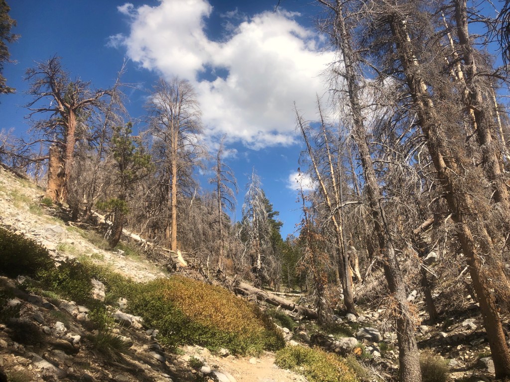
As we started the climb, it began to get steep, and a bit hot. We passed the small first spring, which was flowing across the trail, at a trickle. It was an indication that the larger spring would have water. We passed a small group, who gave a report on the springs ahead. Lodgepole was at a trickle they said. It sounded like there at least was some water, so that was encouraging.
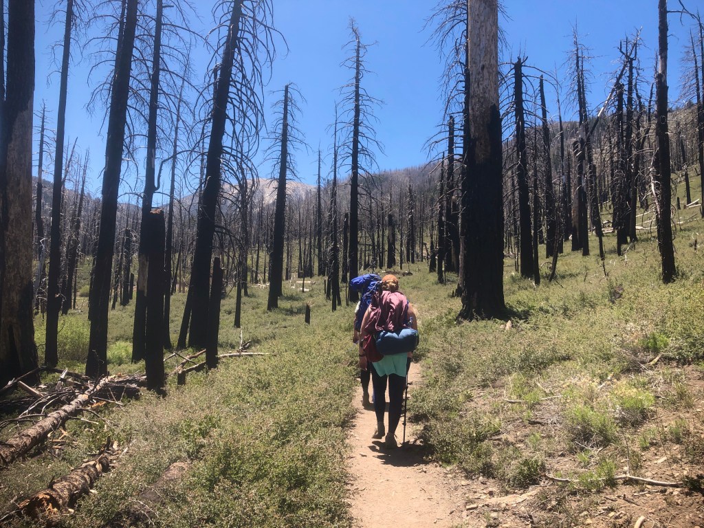
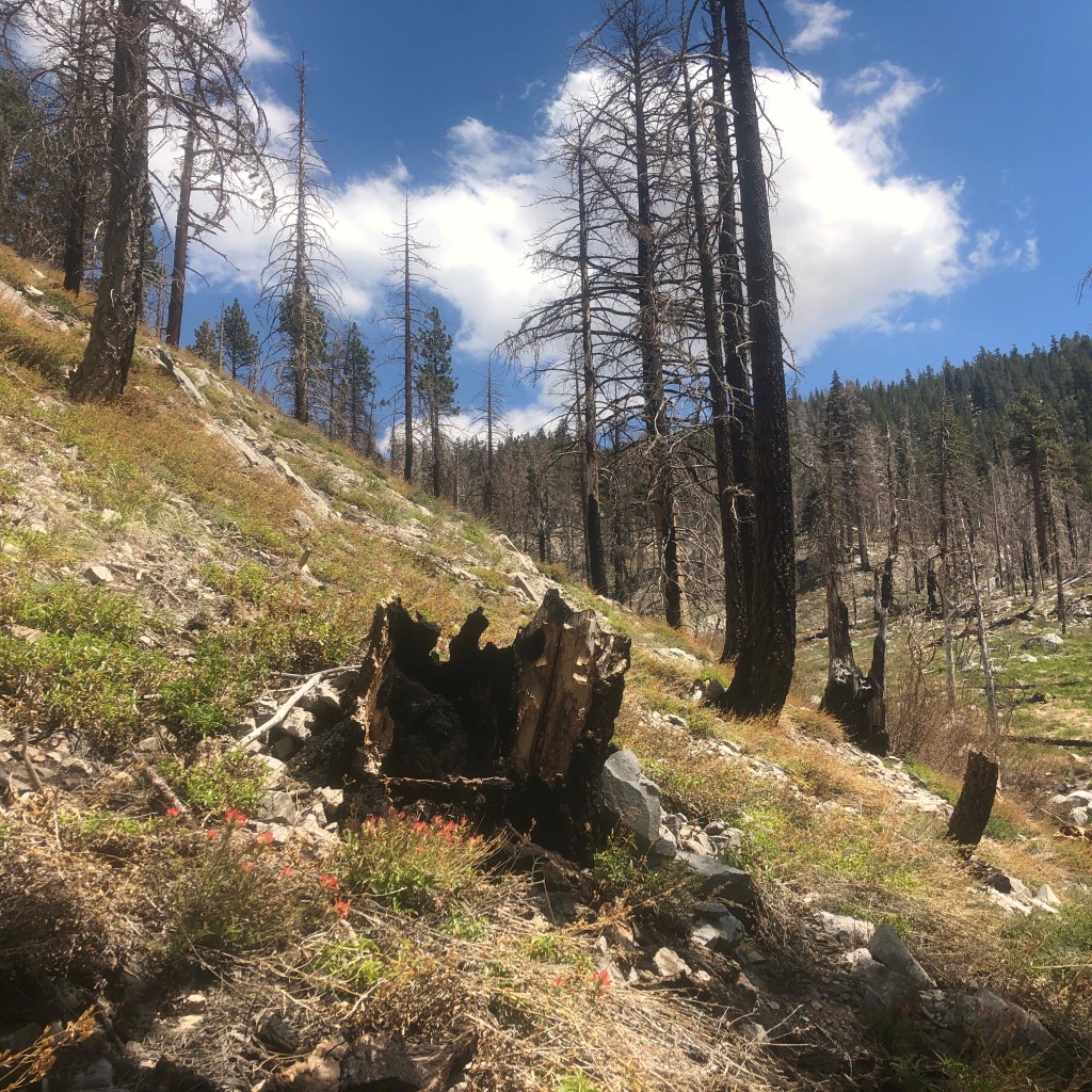
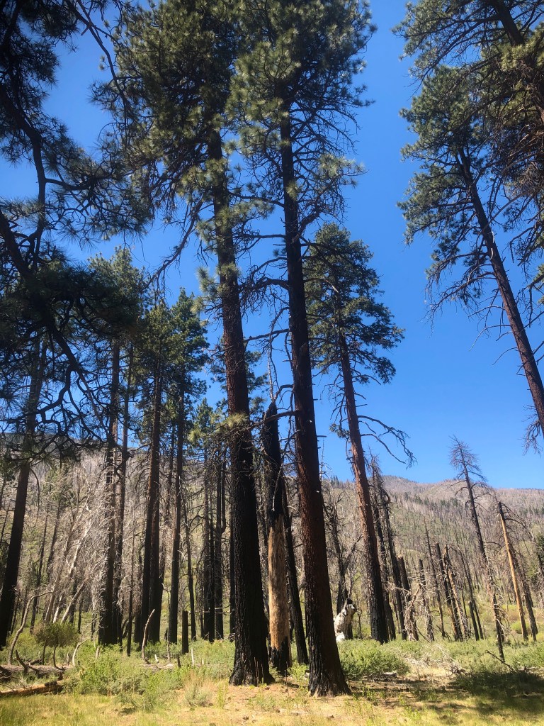
Alison remarked it was flowing more the year before, in summer, and she was surprised it was so dry at that point. So we hiked on, eventually crossing a fire road, and continuing through a burn area of deadfall from a fire 10 years ago. As the wind blew through the trees, I remained on guard for widowmakers, which are dead trees that fall suddenly without warning.
Around this time the wind had sadly, started to pick up. Nice to have a breeze, but not with all these dead trees around me.
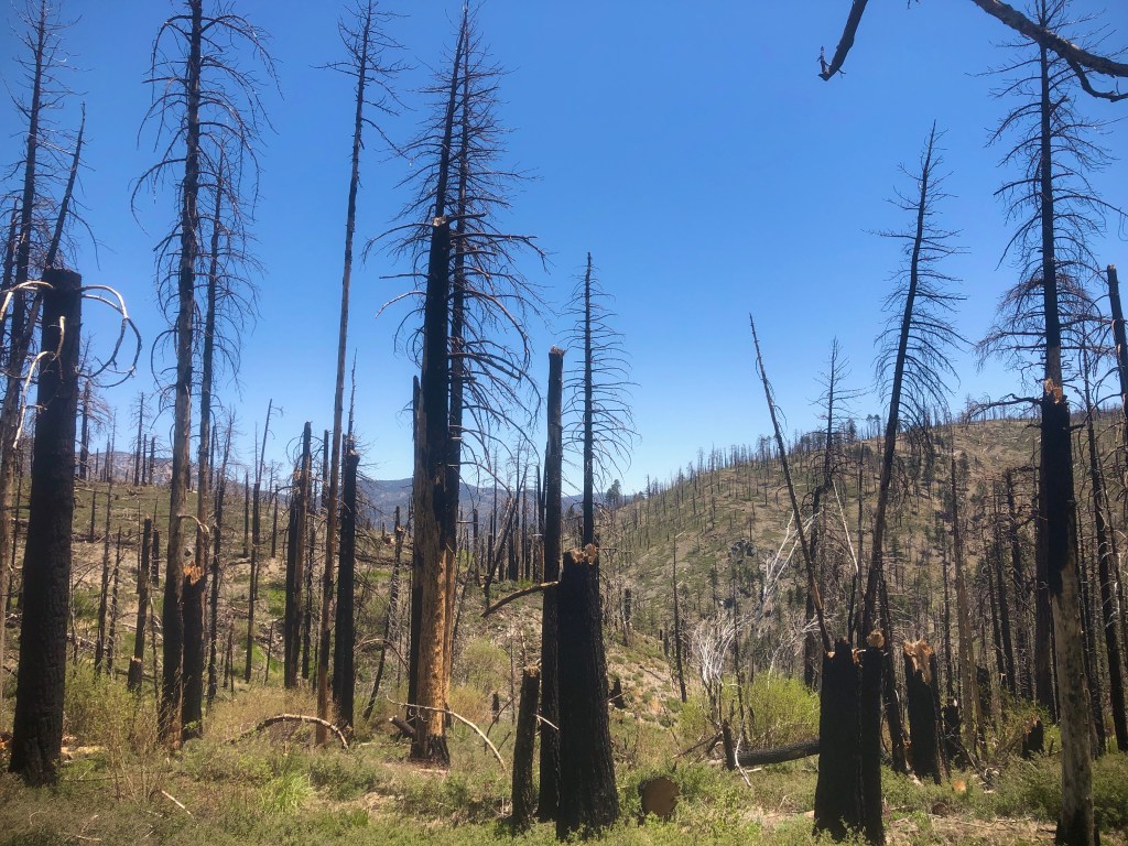
Some trees had fresh cuts from a chainsaw, and lay alongside the trail. The trail crews had evidently been busy.
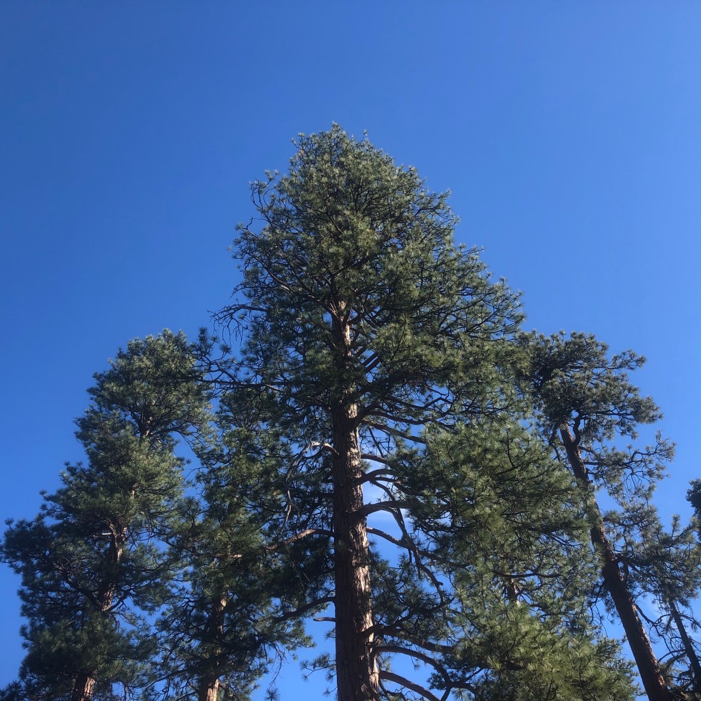
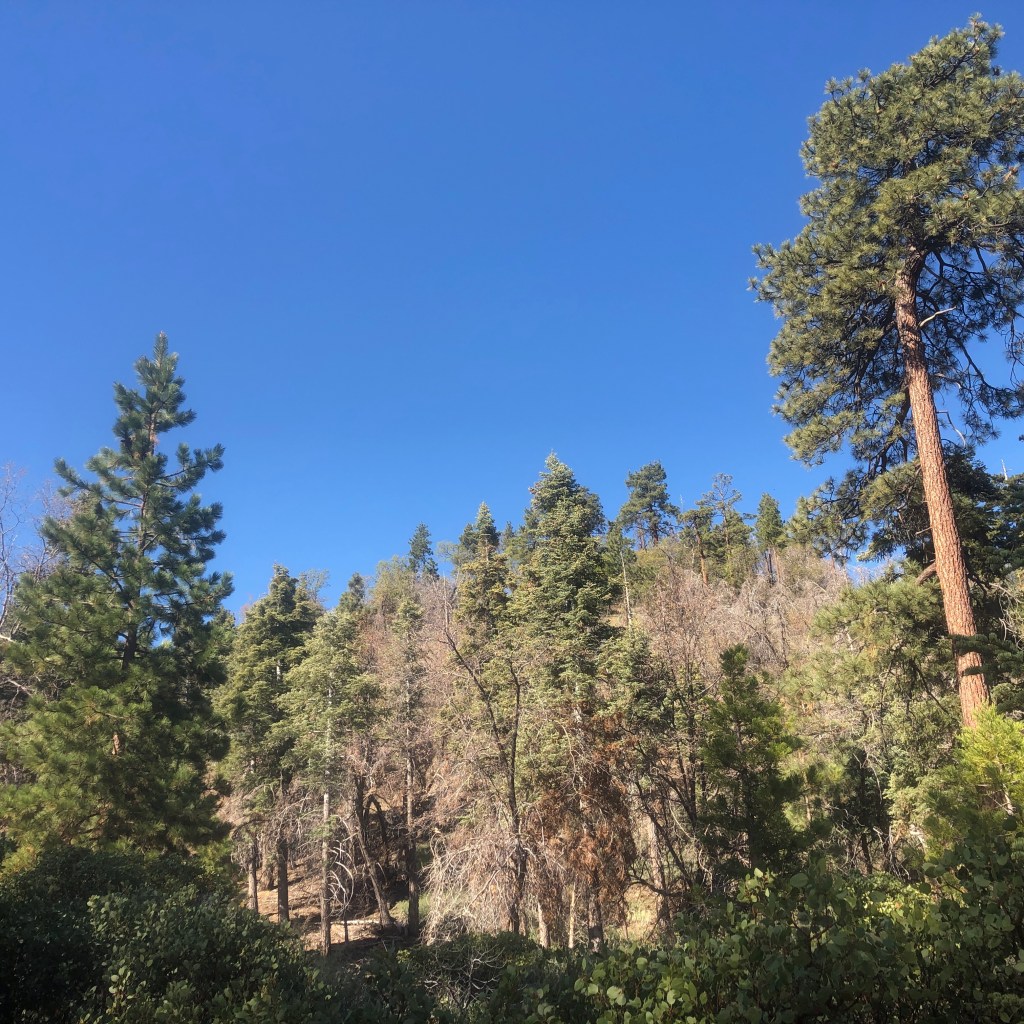
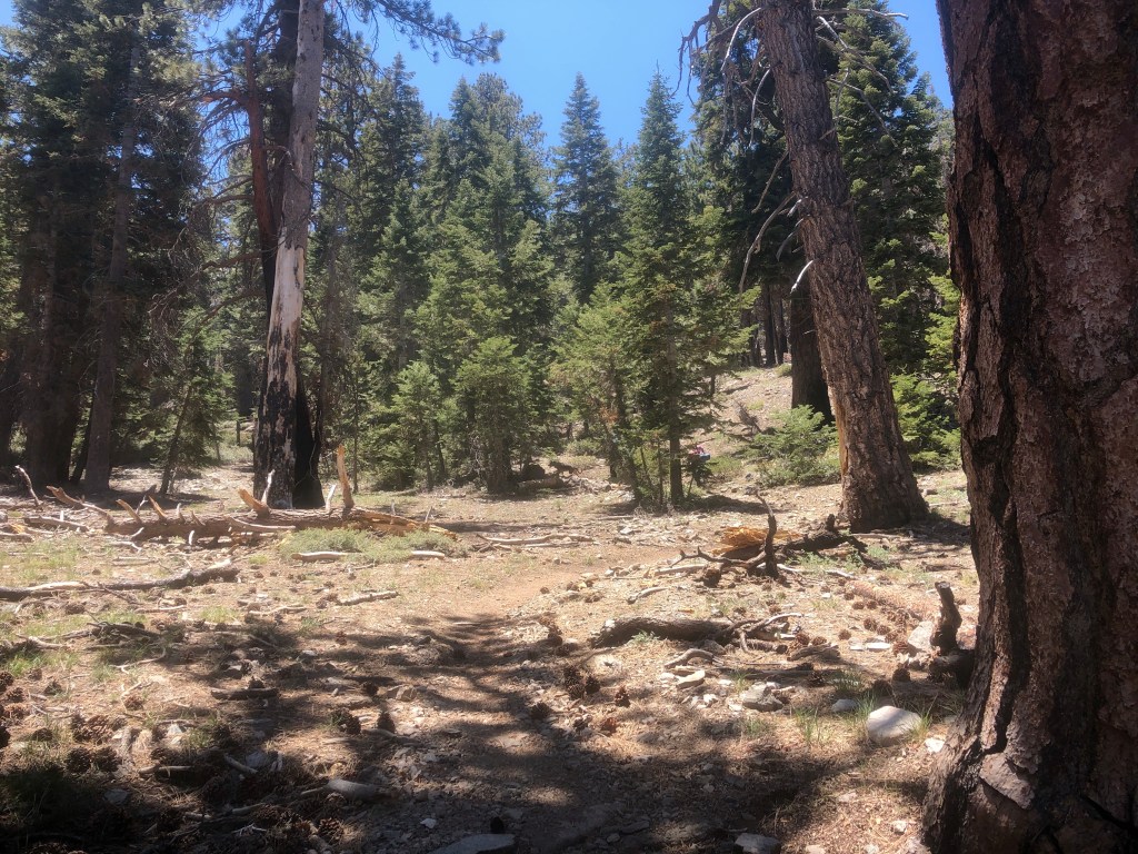
After exiting this ghost forest of sorts, we climbed into a lush green woodland.
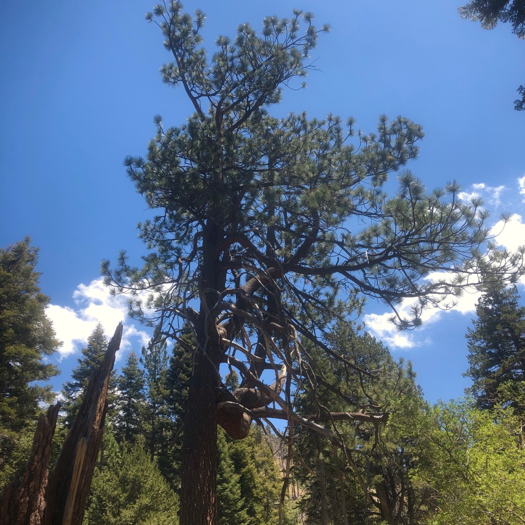
The pines here really towered over us, and were quite tall, some were maybe 100 years old.
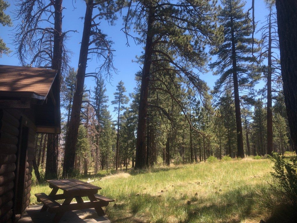
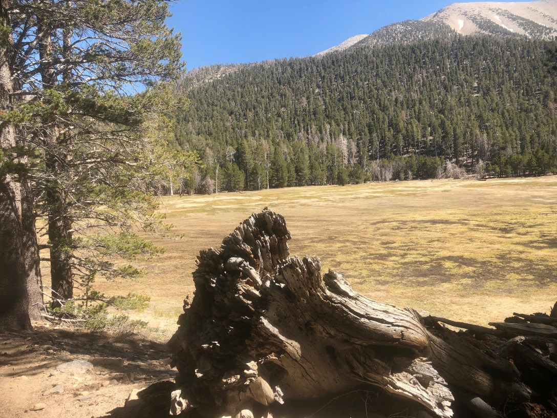
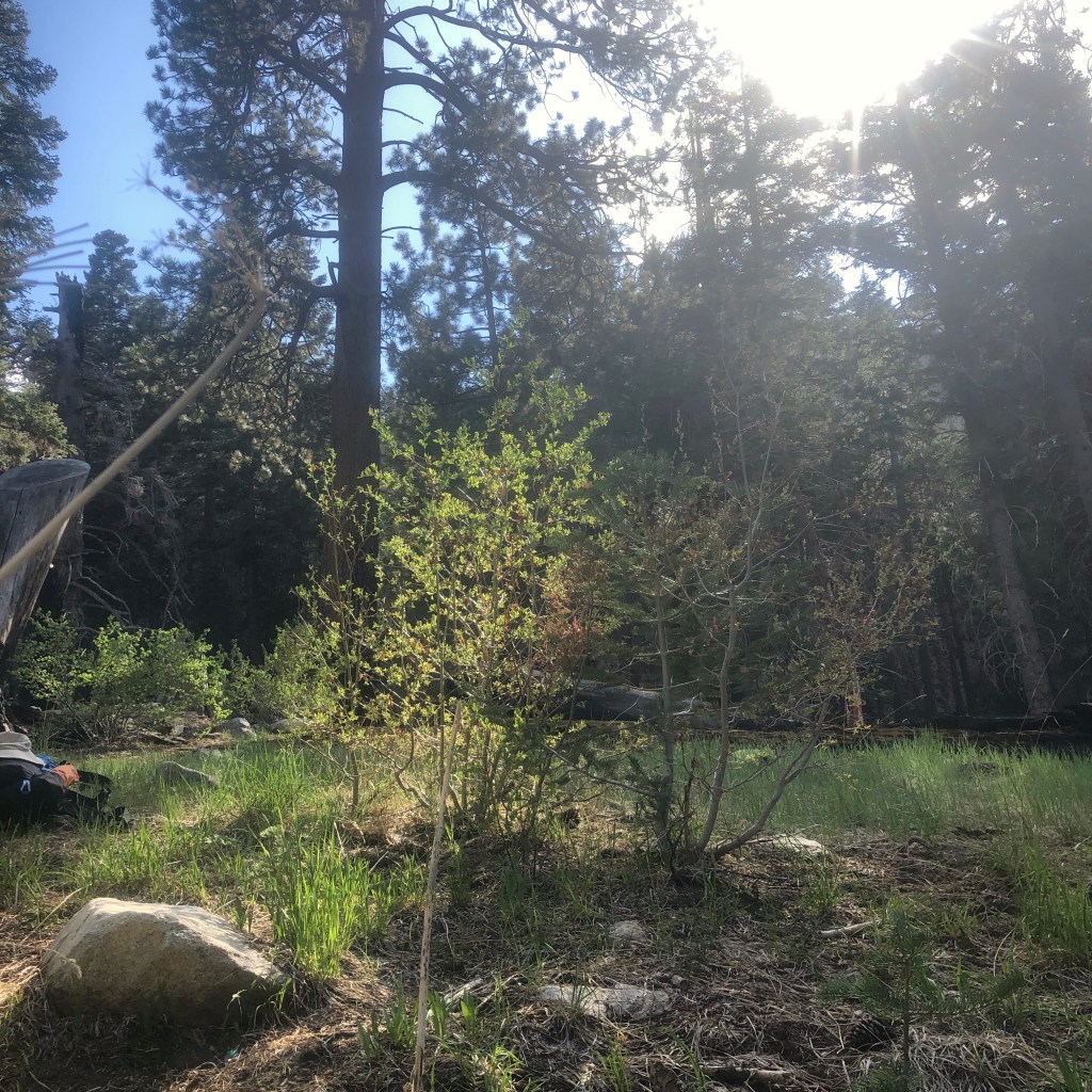
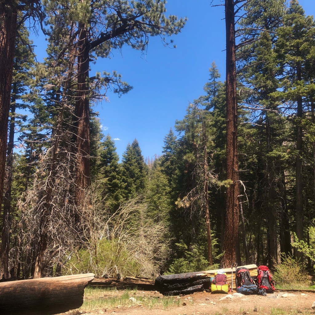
We arrived at a cabin, and Horseshoe Meadow. There was a picnic table there to take our packs off and rest. We took a snack break here in the shade, and took off our packs. When you backpack, even resting for 5 minutes is beneficial for avoiding injury.
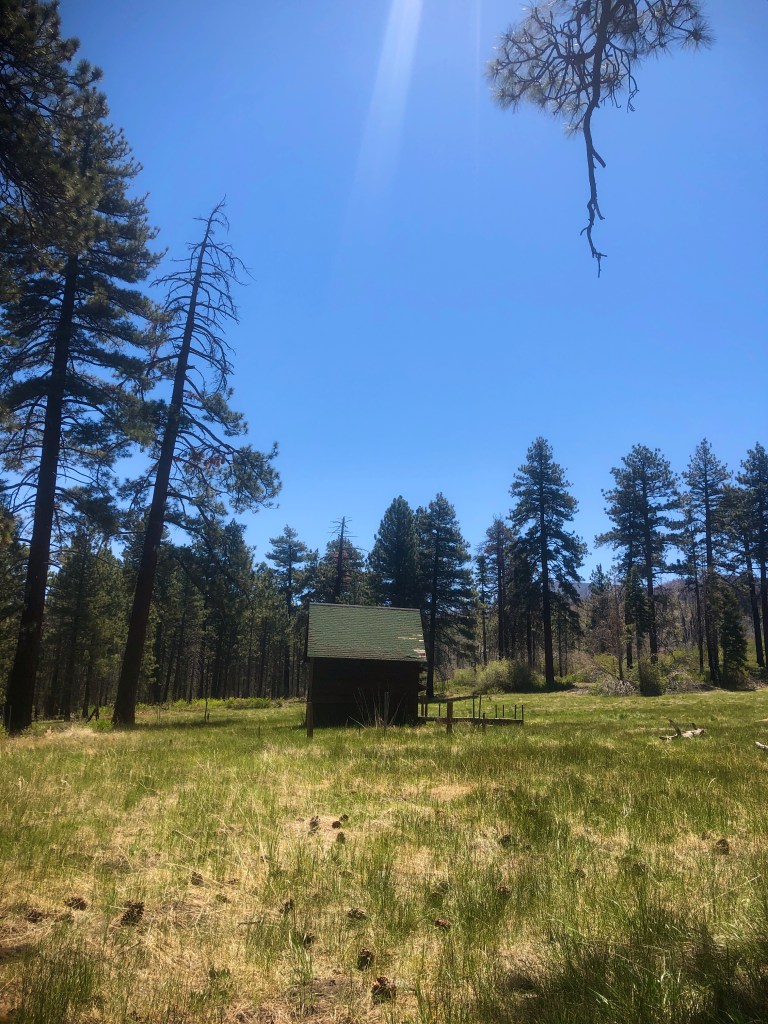
We had traveled a little less than 3 miles, but it felt much longer, with our heavy packs and all.
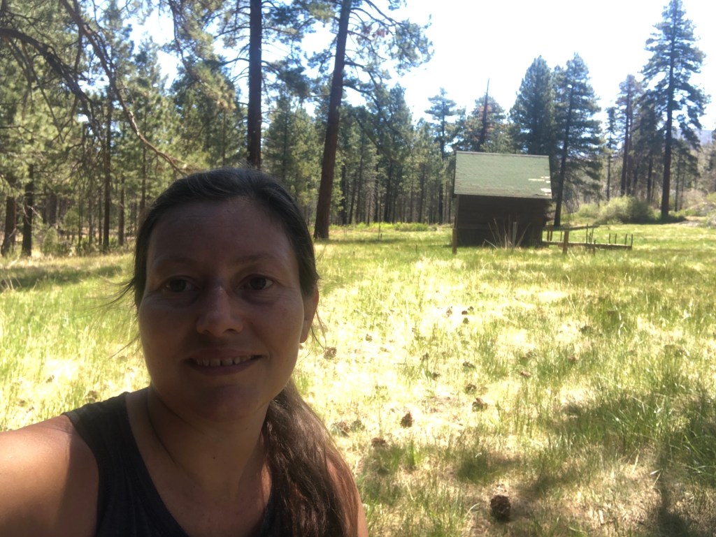
This was such a warm sunny meadow. I could have hiked here on any given day, just to enjoy this view. This cabin behind me has some history behind it. It was saved by firefighters during the Lake Fire in 2015.
Our next stop would be the larger spring, on the way to Dry Lake, where the South Fork of the Santa Ana River crosses the trail. That is where the trail gets its name.
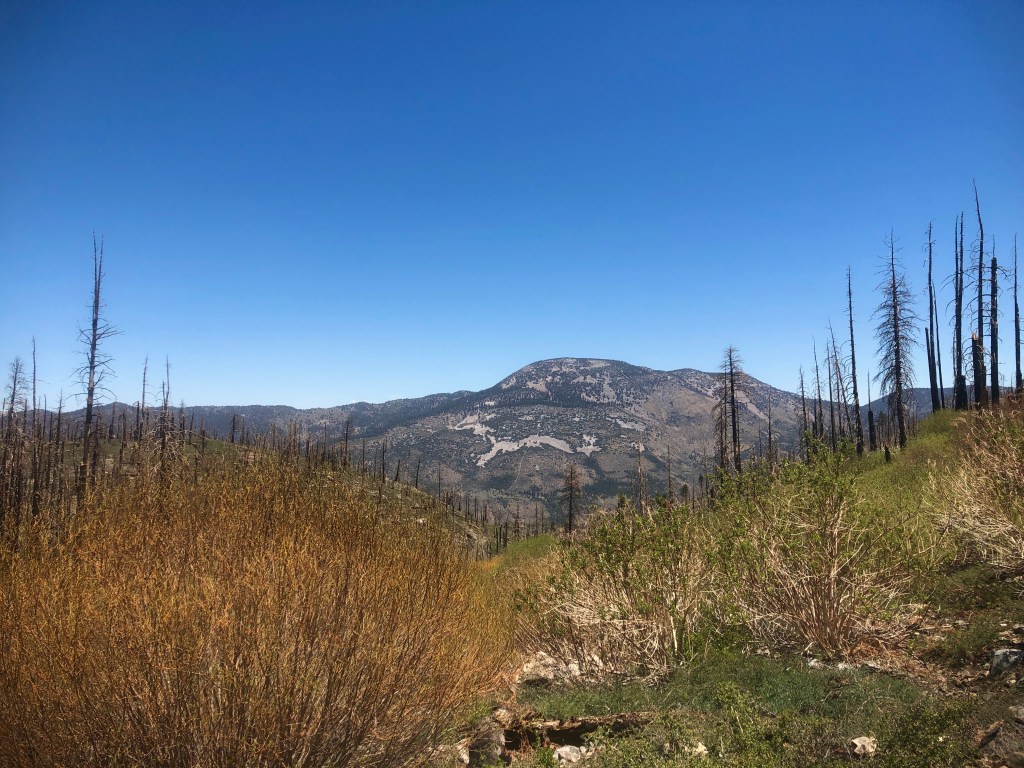
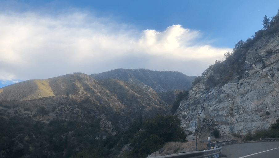
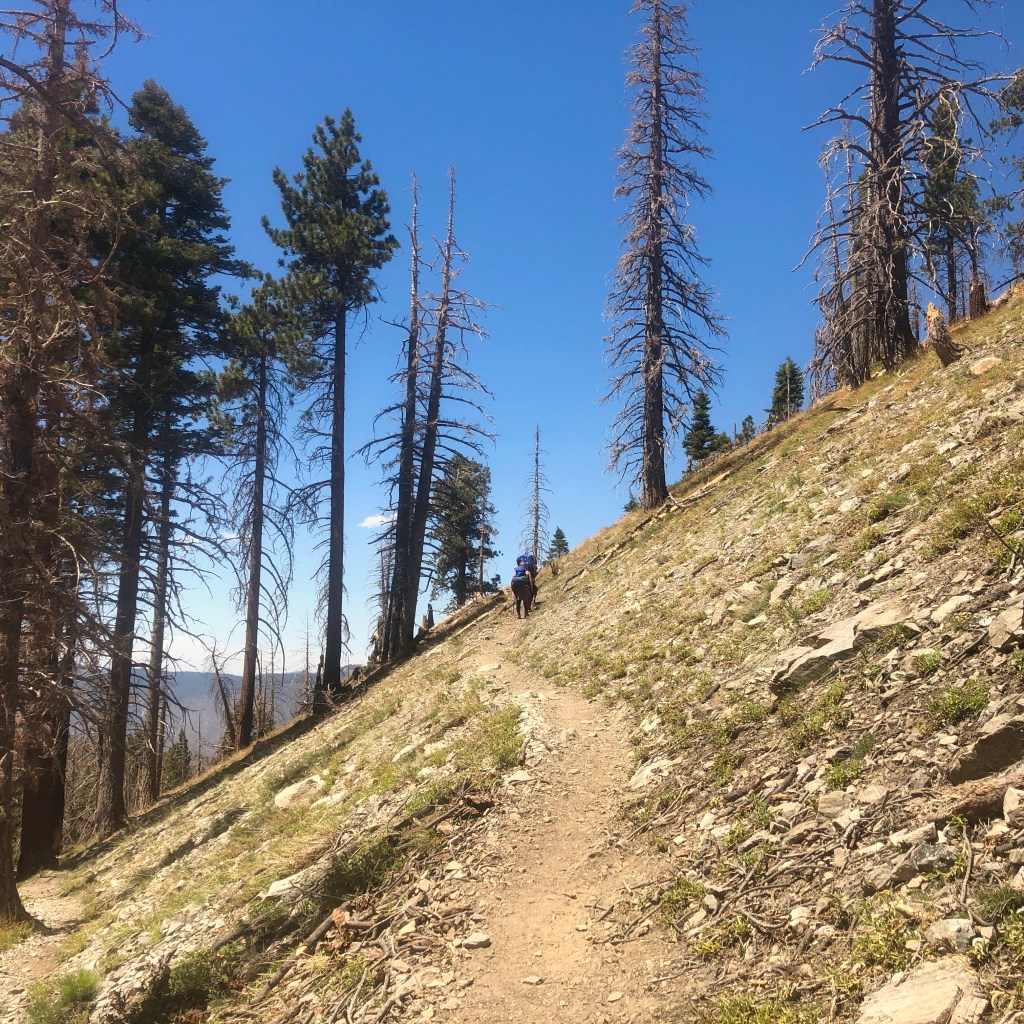
Just past the cabin, the terrain grew a bit more rocky. I started to glimpse the surrounding mountains, and even the peak of Mount San Gorgonio in the distance.
We happened to pass a ranger along the way, who asked about our permits, and where we were staying. He had several junior rangers in tow. What a great career for someone who loves being outside in the woods. It’s a huge responsibility though.
After some friendly conversation, onward we went toward the spring, and Dry Lake.
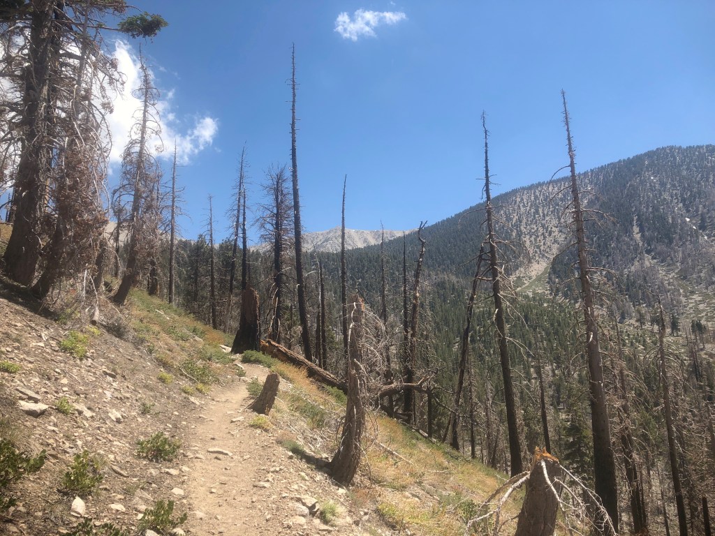
The trail took us on what felt like unending switchbacks, in the hot sun, and there was little shade here. We continued to pass more victims of the lake fire, along with plenty of live trees intermingling with those which did not. The forest survived, and reseeded itself, as they often do following a fire, since fire is needed for pines to open their cones, to spread the seed.

There were some absolutely humongous downed trees strewn about like matchsticks.
I notice a group of people congregating up ahead, and realize that means we have arrived at the spring. We were now about 4 miles up the trail, where the trails split off. The trail to the left heads toward Dry Lake, while the trail to the right, heads to Dollar Lake campground, along with the saddle. Some hikers approach from the Northeast, and others from the Northwest.

After a brief and much deserved break at the springs, where we filtered water, we carried on to Dry Lake.
I had brought a sawyer squeeze to filter water, but I still had plenty of water, so I did not fill up at this point.
We had a double stream crossing here, and we were making great time, on our journey to our campsite. The forest was fairly shady here in this section, and it was now late afternoon. We would arrive at Dry Lake Shortly before dark, set up camp, and fill up water again, at Lodgepole spring.
This concludes the first day of hiking up to the peak of Mount San Gorgonio. Stay tuned, for Day 2. Did I make it? I sure hope so.
About me
I’m Serafina! I’m a writer and California girl who loves to go exploring. Hope you will get outside today, breathe some fresh air, and be happy!
Follow my Journey…
Be sure to Like and Subscribe to My Youtube Channel where I post videos!
Disclaimer: The work on this blog is my opinion and my opinion alone and I am not responsible for the outcome if someone were to apply these thoughts to their own life. All text and photography copyright 2021 by Serafina, all rights reserved. Information and opinions provided are kept current to the best of the author’s ability. All readers’ usage of the ideas and opinions presented in the blog, are at their own risk. Be aware of the possible dangers of hiking, surfing, walking, cooking, and other activities, which may take place indoors or outdoors. By reading this, you agree not to hold the author or publisher of the content on this web site responsible for any injuries or inconveniences that may result from reading the blog, or partaking in any activity mentioned in the blog. Read the blog, and use its ideas, if you so desire, at your own risk.
