It was the 3rd day of my journey on the TCT. I woke up at 6 am, and was still exhausted. I planned to get in an 11 mile hike today. Everything I needed was laid out and ready to go. I just had to get out of bed.

I stepped outside and it was a cool cloudy morning, just before sunrise. I needed to fill up water at the spigot, and make coffee.
I decided to use a real bathroom. They don’t have one in the campground. I never like porta potties. These ones were too full of the blue liquid, and gross. Oh well.
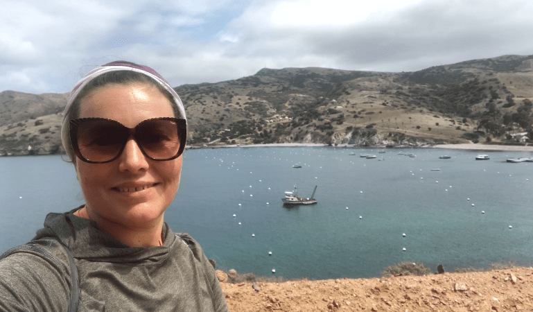
I left camp and walked down the beach trail, past town. It looked as if it might rain. I had my raincoat, and umbrella, just in case. I had food, water, and just the essentials for a long day hike.

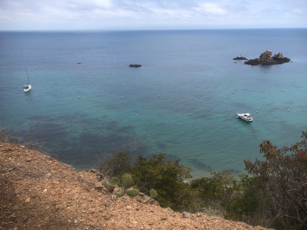
As I approached Cat Harbor, on the wide unpaved road, I noticed that Two Harbors was really just an isthmus, narrow strip of land connecting two islands, or pieces of land.
Catalina has an interesting past. It was once the home of the Gabrielino-Tongva tribe.
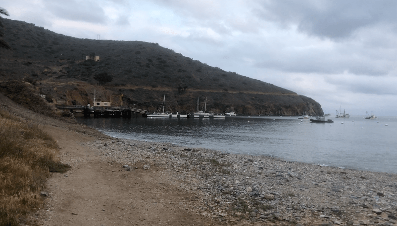
Later, Spanish galleons sailed past, and sometimes dropped anchor just off the coast.
They left evidence, dropping their ballast stones off shore, to load up on treasure. This created a narrow strip of land in Cat Harbor, called Ballast Point.
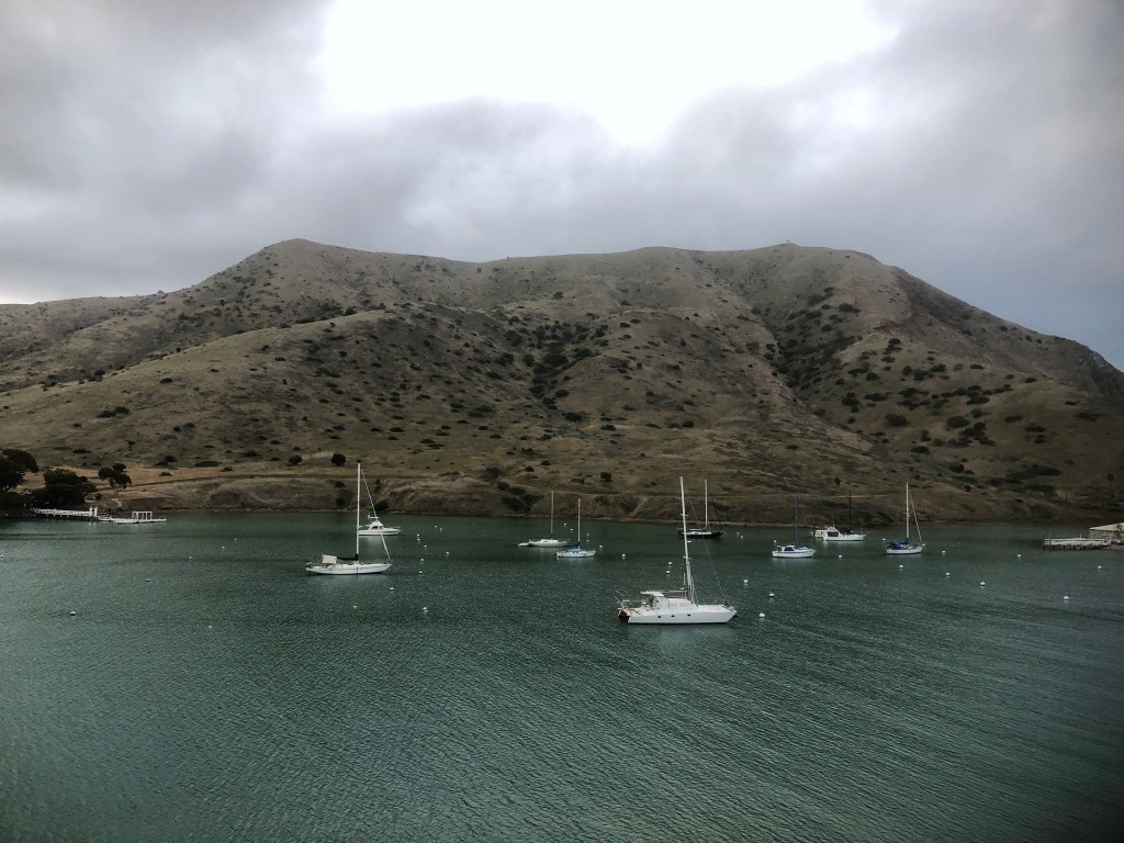
There was nobody around, except a few people on their boats.
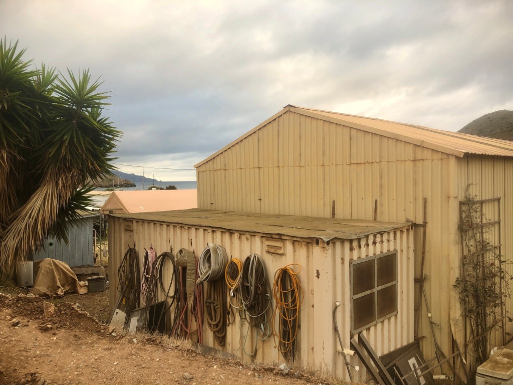
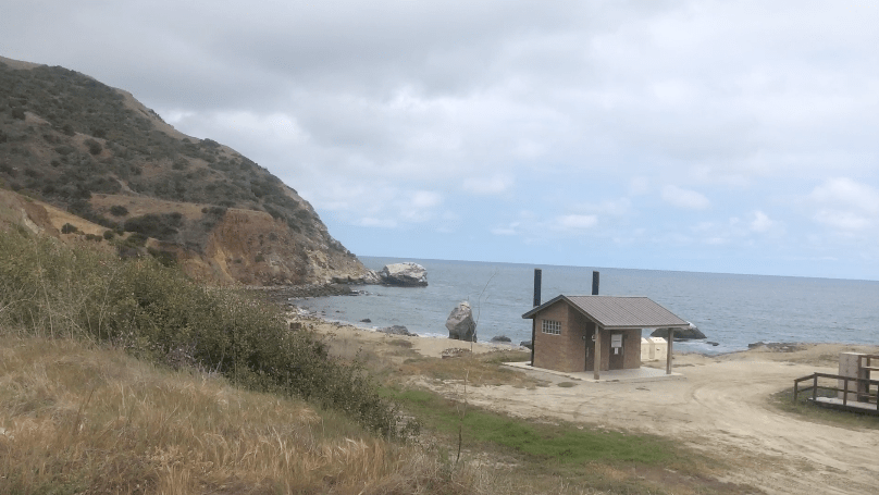
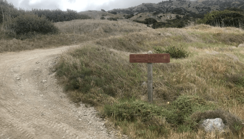
The TCT changes from road walk to trail once again, just past this building.
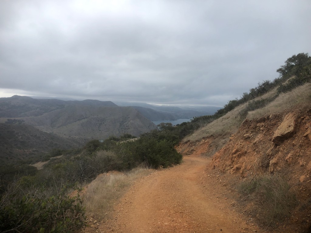
As I climbed higher up the hill, I came to what hikers like to call a false summit.
It’s when you think you reached the top of a climb, or a peak, but you really haven’t.
What I was in for was a long succession of uphill climbs, and downhills, all morning long.

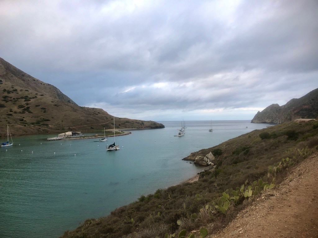
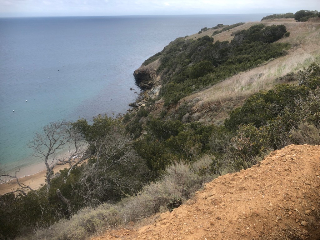
I glanced back toward the east side of the island, and Two Harbors. The clouds seemed to reflect upon calm windless seas, like glass.
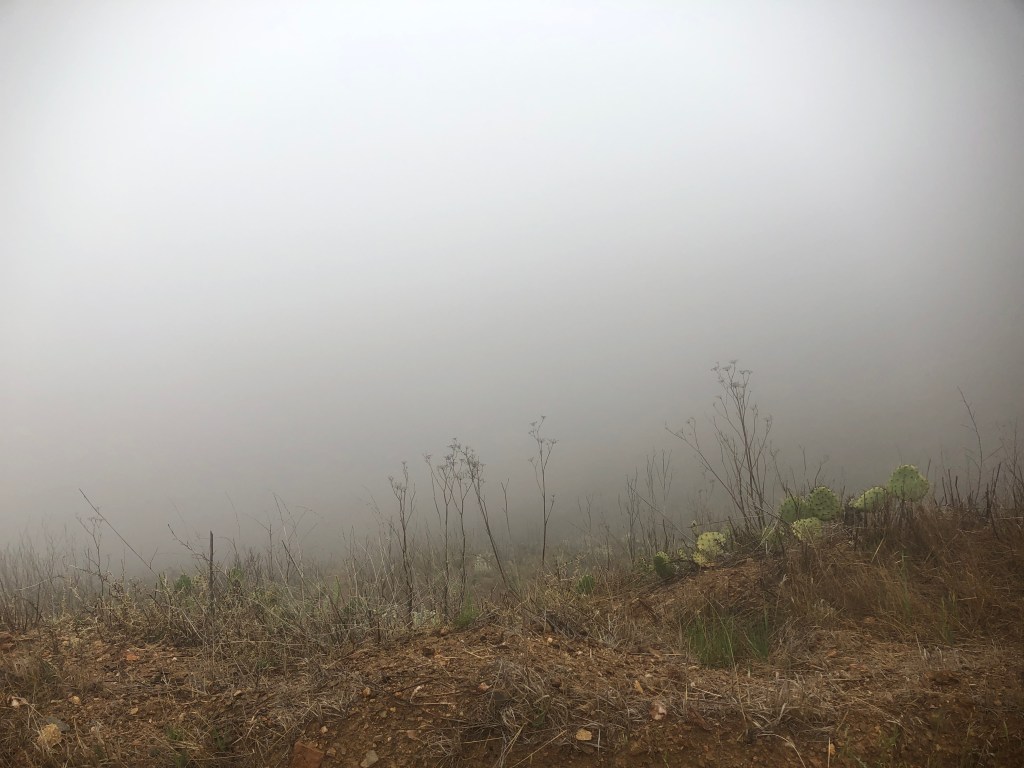
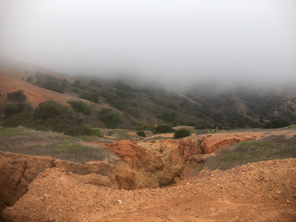
I would climb a total of 1700 feet into the lower reaches of a thick, dense marine layer.
The view was all but blocked by the sun. It was as though I was simply walking into thin air, into the clouds, and the unknown.
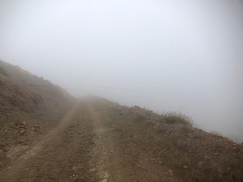
I was in the thick of it, and it was a more than just a little bit spooky.
I was all alone up here. It felt like these clouds could swallow me in one poof.
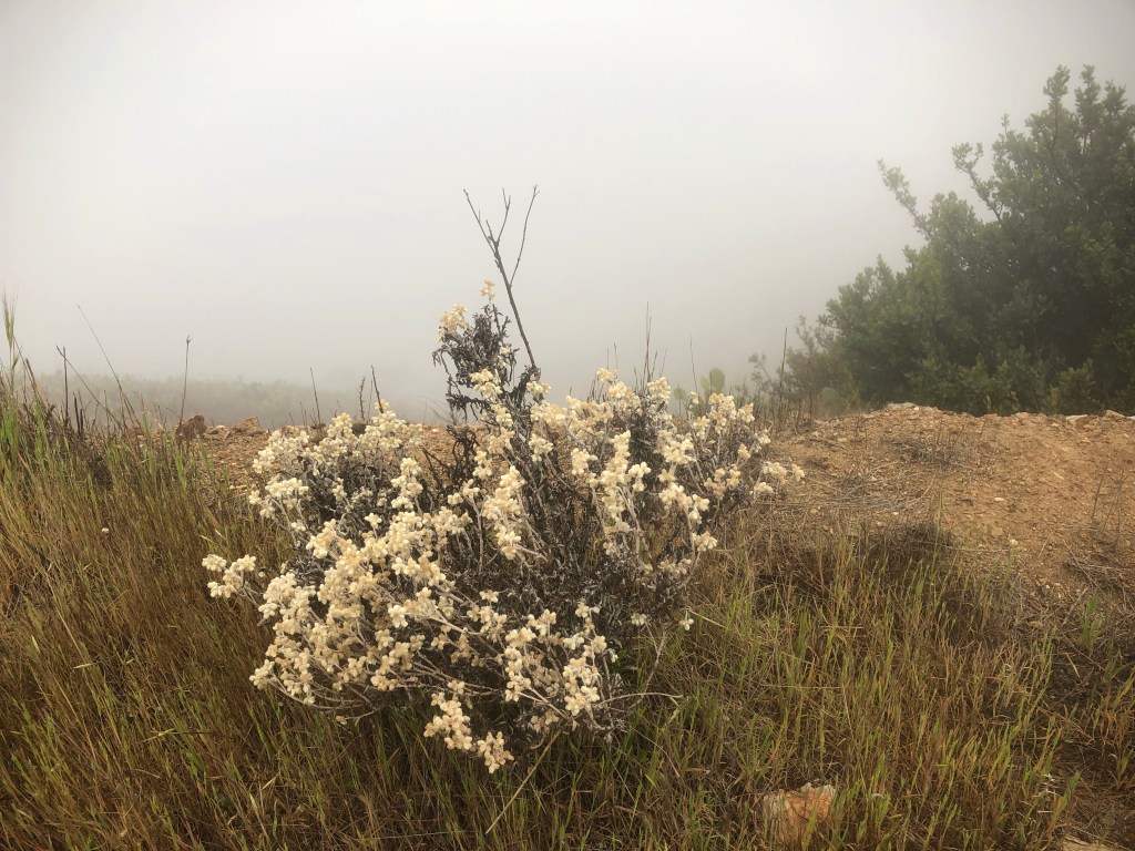
I could not see far, or much in the way of landscapes, so I focused more on what was close by, such as these cream colored wildflowers.
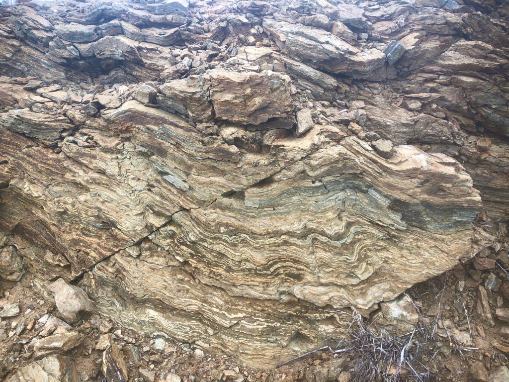
I spotted this cool rock formation.
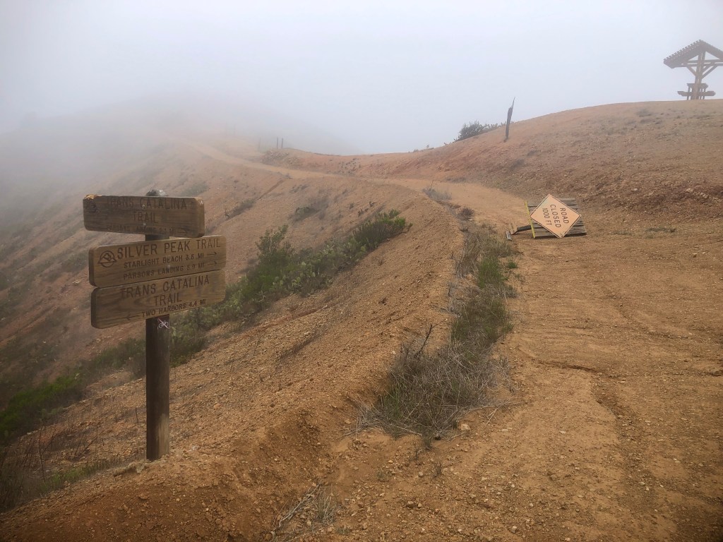
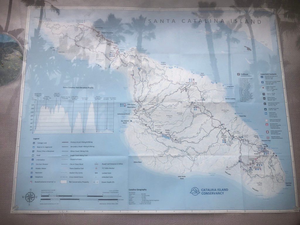
After about two hours, I had come to Silver Peak Trail, which leads to Starlight Beach, the original terminus of the TCT.
This trail was closed, and Starlight Beach was not accessible from the trail, due to storm damage.
I made a hard left at a picnic table, and began my descent into Parsons Landing.
I would not get to see the seacliffs on this section of the trail, but for now it was onward to Parsons Landing.
I thought might be smooth sailing, down to Parsons Landing.

The trail remained foggy, mysterious, and tranquil, as I proceeded downhill.
The feeling along this section of the trail, was more subdued. I could have been taking a million photos. Instead, it was more a chance to go inward, and process my trip so far, along with where I was headed next, not just on the hike, in life.

There was not another hiker in sight. I felt like there were actually two sets of footprints, every step of the way, guiding me onward.
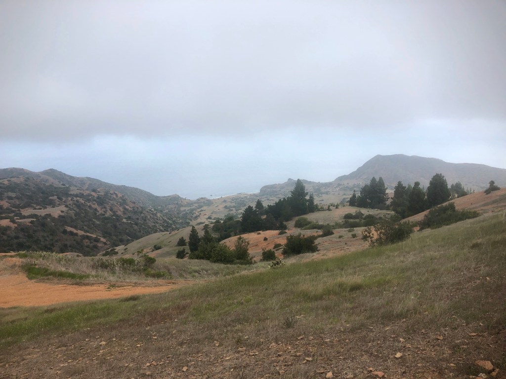
Eventually I spotted the ocean again, and Parsons Landing far off in the distance.
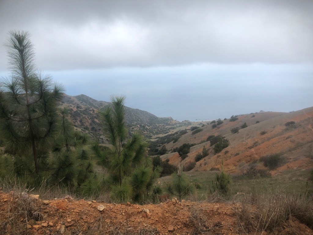
There was a small forest of Pines, which almost seemed out of place here, since they were the first pines I had seen on this side of the island. At one point, the island apparently had many more than today.
Around this point I began an extremely steep section, with tons of loose rock, where previous hikers on alltrails remarked in their trail diaries, they remarked as having had to slide down on their butts.
I carefully skiied on down, at a pace of about a 1/4 mile in that spot.

This part of the island is just as beautiful, and dynamic as the other side. The sun had finally started to peek out from the clouds, as I neared Parsons Landing.
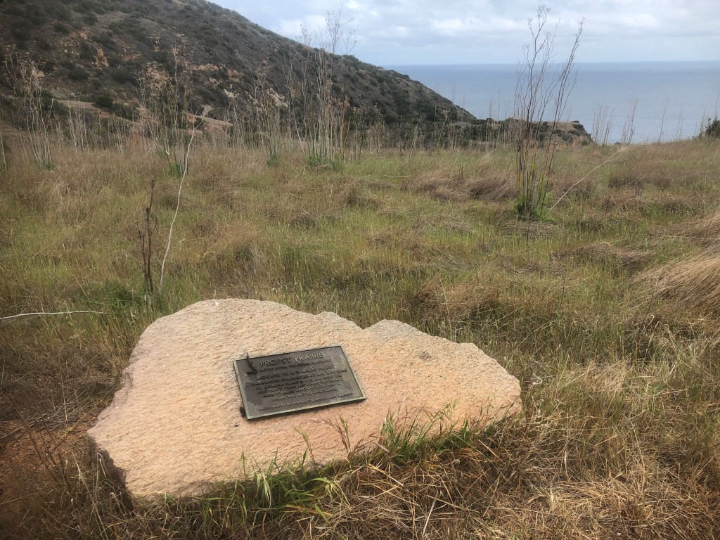
I passed a stone marker for a place called Probst’s Prairie.
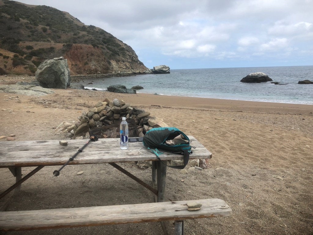
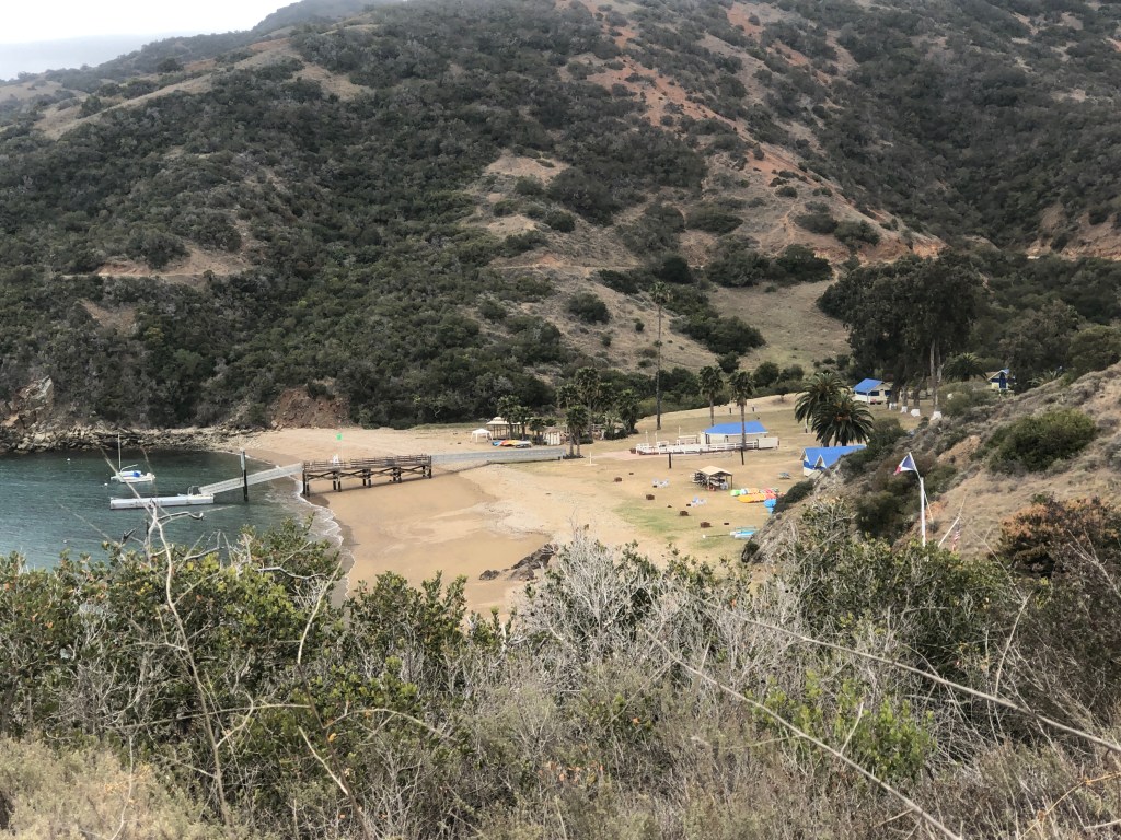
I made it to Parsons Landing, and it was completely empty. The beach campground was apparently booked solid, but where was everyone?
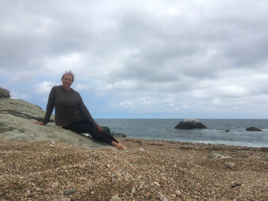
I hauled out of the rocks like a mermaid and had lunch.
They do have facilities here, and but they definitely needed some cleaning. There were no sinks to wash hands or water here whatsoever.
If you camp here, you must buy a water, and firewood package in advance, with you make your reservation. But you also must pick up your key to a locker to retrieve it, at the visitors center by the ferry, during business hours only. A very tricky process, that is not mentioned anywhere when you make reservations.
After enjoying a Pro Bar, and much needed calories, it was time to hit the road, heading back toward Two Harbors.
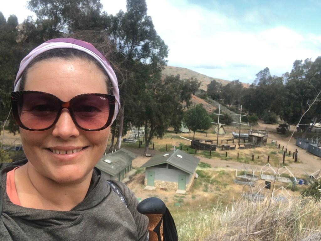
This brought to mind a sunken Pirate ship. This is a Boy Scouts camp behind me.
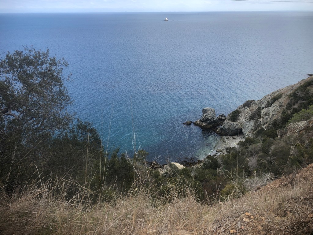
I passed a beautiful cove, which would probably make for great snorkeling.
This is called Johnsons Landing. I would love to kayak around here sometime too.
I was not only feeling great, I was enjoying a lighter pack weight, having drank most of my 4 liters of water I carried with me.
There were all sorts of little coves, with little summer cabins along the way.
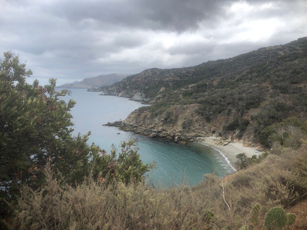
The water was so clear looking, and beautiful. I felt like diving right in.
I reached a lone restroom, I was not expecting. I was now on the home stretch, making good time, so it appeared I would make the 4:45pm ferry just fine.
I had seen only two vehicles the entire way, and towards the end of this stretch happened to pass two young guys I passed once before, the day prior, except they were going in opposite directions this time.

I had just about completed my Trans Catalina Trail thru hike. The whole 12 mile loop on Day 3, took me 8 hrs, with a few short breaks along the way.
I grabbed a cold drink at the store, and headed back to camp, to pack up for my 4:45 pm ferry ride home.
I made it back to the campground at 2pm, giving me just enough time to pack up, and rest for 30 minutes.

I cooked up my Pad Thai backpacker meal, and made another cup of tea, before it was time to walk to the ferry.
I made it there on time, checked in, and was the first one waiting on the dock to board.
The lady in the ticket booth actually scolded me for not wearing a mask in the street (sorry I don’t wear surgical masks when I’m not doing surgery).
So I proceeded over to the ferry dock, boarded my ferry which was not express (stopped at Avalon), and headed on home.
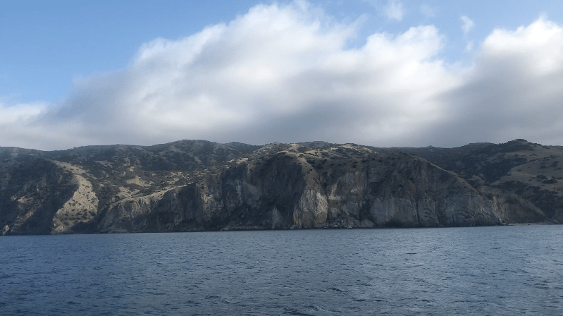
I received one last tour of Catalina, as the ferry headed back past Avalon on more time.
I hope you enjoyed reading about my adventures on Catalina Island, and Day 3 of my thru hike on the Trans Catalina Trail.
I also hope this was maybe helpful if you are planning a future Trans Catalina Thru Hike.
Read about Day 1, and Day 2 of my thru hike.
I hope you enjoyed reading this, and it is helpful in knowing what to expect, should you decide to visit here.
About me
I’m Serafina! I’m a writer and California girl who loves to go exploring. Hope you will get outside today, breathe some fresh air, and be happy!
Follow my Journey…
Be sure to Like and Subscribe to My Youtube Channel where I post videos!
Disclaimer: The work on this blog is my opinion and my opinion alone and I am not responsible for the outcome if someone were to apply these thoughts to their own life. All text and photography copyright 2023 by Serafina, all rights reserved. Information and opinions provided are kept current to the best of the author’s ability. All readers’ usage of the ideas and opinions presented in the blog, are at their own risk. Be aware of the possible dangers of hiking, surfing, walking, cooking, and other activities, which may take place indoors or outdoors. By reading this, you agree not to hold the author or publisher of the content on this web site responsible for any injuries or inconveniences that may result from reading the blog, or partaking in any activity mentioned in the blog. Read the blog, and use its ideas, if you so desire, at your own risk.
